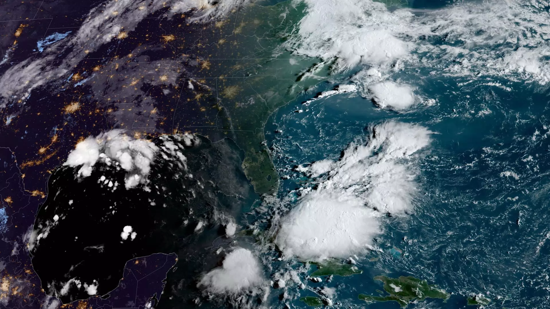
As we enter a pivotal week in the Atlantic hurricane season, concerns are growing about a disturbance in the Gulf of Mexico that is poised to develop into a tropical storm, potentially escalating to hurricane status before making its approach to the United States Gulf Coast. This system, currently labeled as Potential Tropical Cyclone Six, is situated approximately 300 miles south-southeast of the mouth of the Rio Grande and is traveling in a north-northwest direction.
Meteorologists are keeping a close eye on this developing storm, forecasting a significant intensification as it traverses the northern Gulf of Mexico. Advisories from the National Hurricane Center indicate that the storm will likely approach the coasts of Louisiana and upper Texas by midweek, necessitating vigilance from local authorities and residents alike.
Tropical storm watches are already in effect for northeastern Mexico and southern Texas, signaling possible dangerous weather conditions. The storm’s trajectory suggests it will bring heavy rainfall and the risk of flash flooding across a wide swath that includes coastal areas of northeastern Mexico, southern Texas, southern Louisiana, and southern Mississippi into Thursday morning.
While meteorological predictions are subject to change, the storm’s trajectory presents a real threat of severe storm surge and damaging winds, with the National Weather Service emphasizing that portions of the Louisiana and upper Texas coastlines should prepare for impactful weather starting Tuesday evening.
A Look Back at the Season So Far
Examining the broader context, the 2024 Atlantic hurricane season has already seen a notable number of disturbances since it began in June. With five named storms thus far, three of which escalated to hurricane status, the season’s activity has provided a mix of intensity and unpredictability.
August’s cyclonic activity was reported to be slightly below normal, with Debby making landfall in Florida before re-emerging as a tropical storm in South Carolina, and Ernesto reaching Category 1 status over Bermuda. This year is characterized by forecasts of heightened hurricane activity, stemming from a combination of warm ocean temperatures in the Atlantic, La Niña conditions in the Pacific, diminished trade winds, and reduced wind shear.
Given these circumstances, residents in the projected path of Potential Tropical Cyclone Six should remain informed and prepared for adverse weather conditions. Local governments and emergency management agencies are likely to issue further advisories as the storm develops, focusing on the importance of emergency plans and safety protocols in the face of potential threats.
Immediate actions may include securing property, stocking up on supplies, and staying updated via reliable news and weather channels. As the storm progresses over the coming days, vigilance is crucial for ensuring safety in the face of nature’s unpredictable behavior.


Leave a Reply